


|

|
| Radar/Satellite images courtesy of NWS/NOAA | |
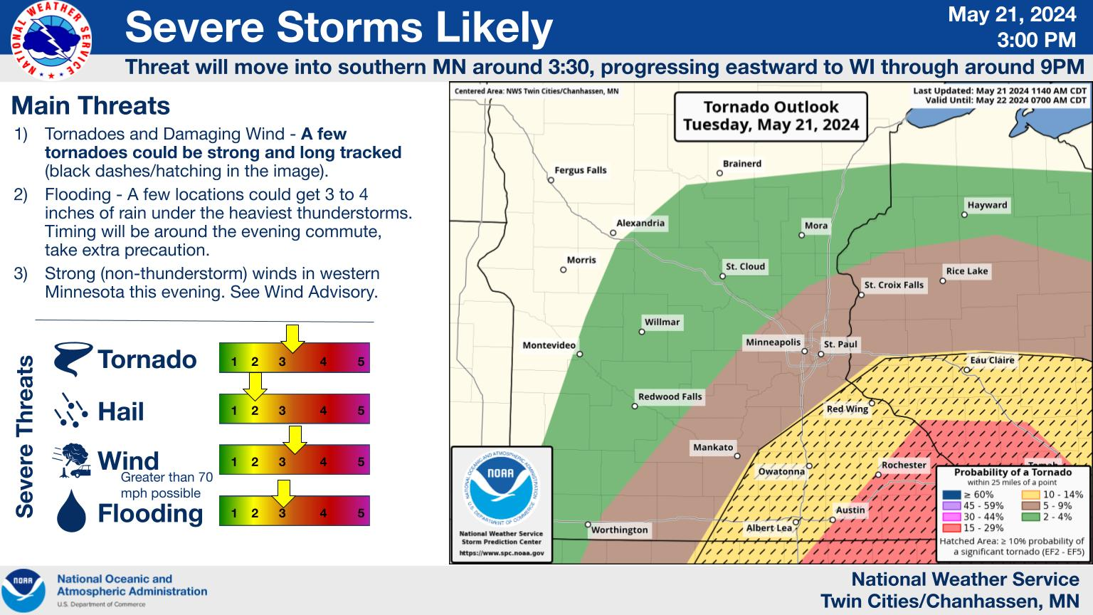
Today's WX Story |

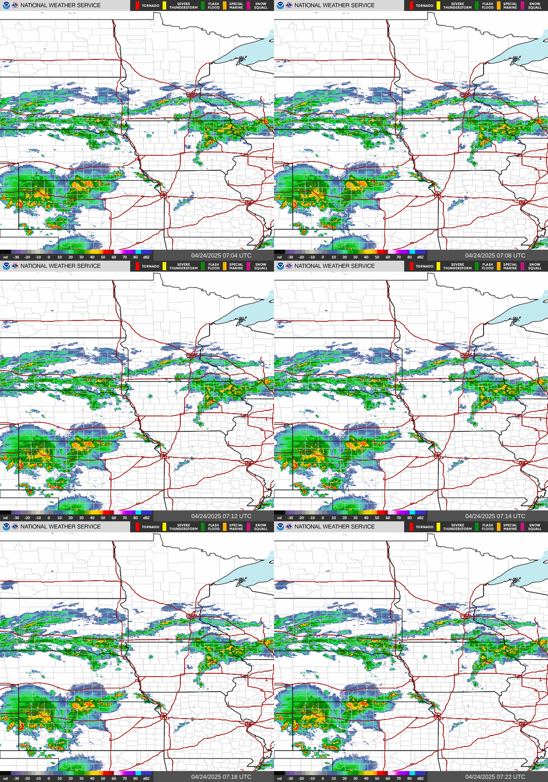
Central MN Radar |
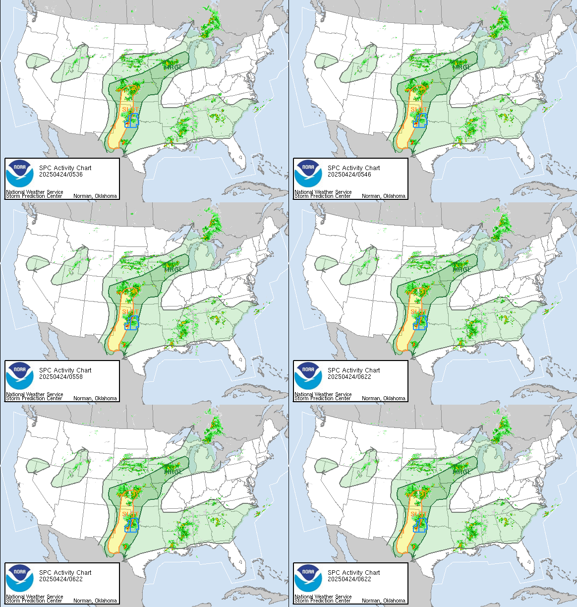
Severe Wx Outlook |
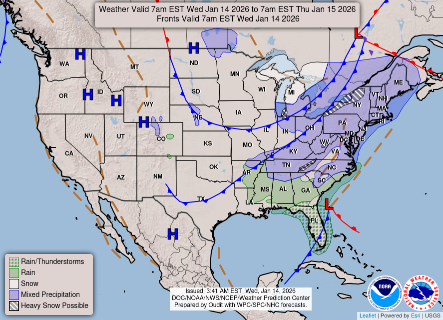
3-Day U.S. Fronts |

U.S. Temp Maps |

| Updated: @ 23-Oct-2026 1:55am - next update at 2:00am | |||||||||||||||||||||||||||||||||||||||||
| Summary / Temperature | Wind | Rain | Outlook | ||||||||||||||||||||||||||||||||||||||
|
|
|
|
||||||||||||||||||||||||||||||||||||||
| Humidity & Barometer | Almanac | Moon | |||||||||||||||||||||||||||||||||||||||
|
|
|
|||||||||||||||||||||||||||||||||||||||
| UV Index | Solar Radiation | ||||||||||||||||||||||||||||||||||||||||
|
|
||||||||||||||||||||||||||||||||||||||||


| Today's Normal and Record Temperatures / St. Cloud Area (NWS) | |
|---|---|
| Normal High: 52°F | Normal Low: 33°F |
| Record High: 79°F 1899 | Record Low: 9°F 1936 |
| NWS Weather Forecast - Outlook: Overnight & Friday | ||||||
|
||||||

| Short Term NWS Forecast for Sartell | ||||||||||||
|


|
Full 7-Day NWS Forecast |
|
| NWS-Twin Cities (MPX) Area Forecast Summary | ||
- Quiet weather continues this afternoon with a top 10 weather day ongoing. - Breezy southerly winds expected tomorrow with rain showers possible in western MN. - More shower chances Saturday along a cold front, with the front stalling south of the area on Sunday. Dry except for western MN on Sunday, with further rain showers expected by Monday morning. The highest rain rates and best accumulations are expected in southwest/southern MN Monday morning.NWS MPX Office Area Forecast Discussion |
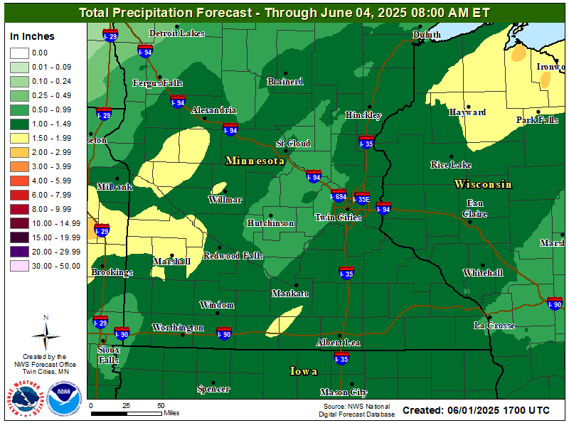
| Rain Forecast & SkyCam - Click on Images to Zoom/Unzoom | ||
|
|
| Click Images for More | ||
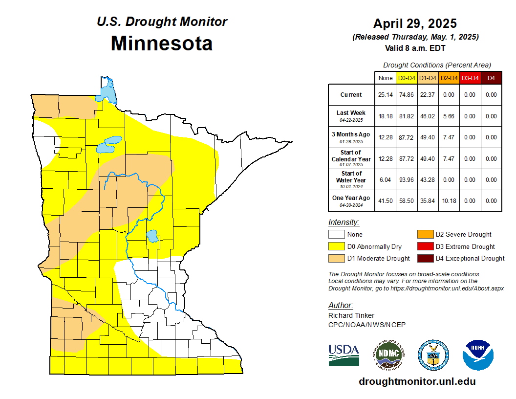
Drought Monitor |

Rain Graphs |

Wind Conditions |

Lightning |

Sun/Moon |
| We Share Our Weather Data with These Organizations | ||

CWOP |

Wx Underground |

PWSweather |

AWEKAS |

WeatherCloud |
| Today's Weather Folklore | ||
 | When the wind is out of the east, ‘tis neither good for man nor beast. | 
|
| Countdown to Winter | ||
|
© 2026, Sartell East Weather |
Weather-Display (10.37S-(b152)) |
Never base important decisions on this or any weather information obtained from the Internet.
Never base important decisions on this or any weather information obtained from the Internet.