



|

|
| Radar/Satellite images courtesy of NWS/NOAA | |
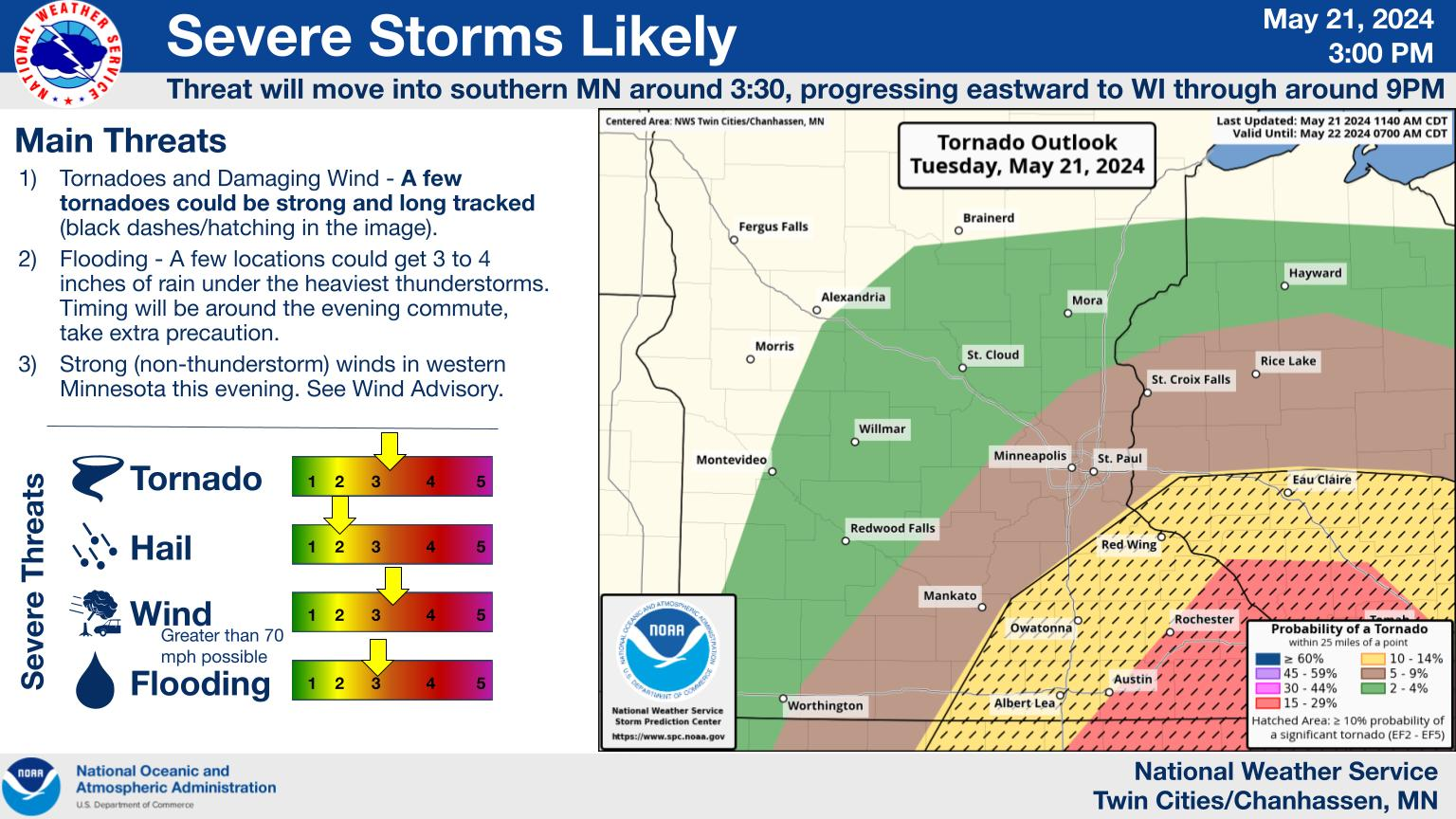
Today's WX Story |

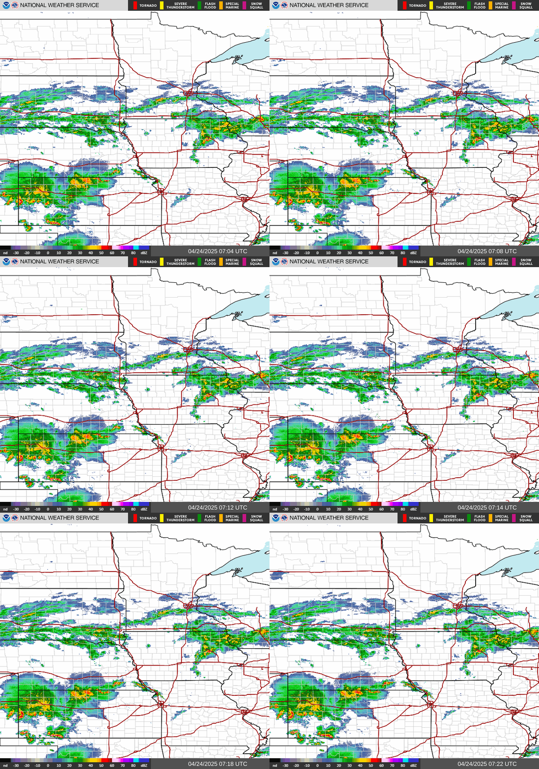
Central MN Radar |
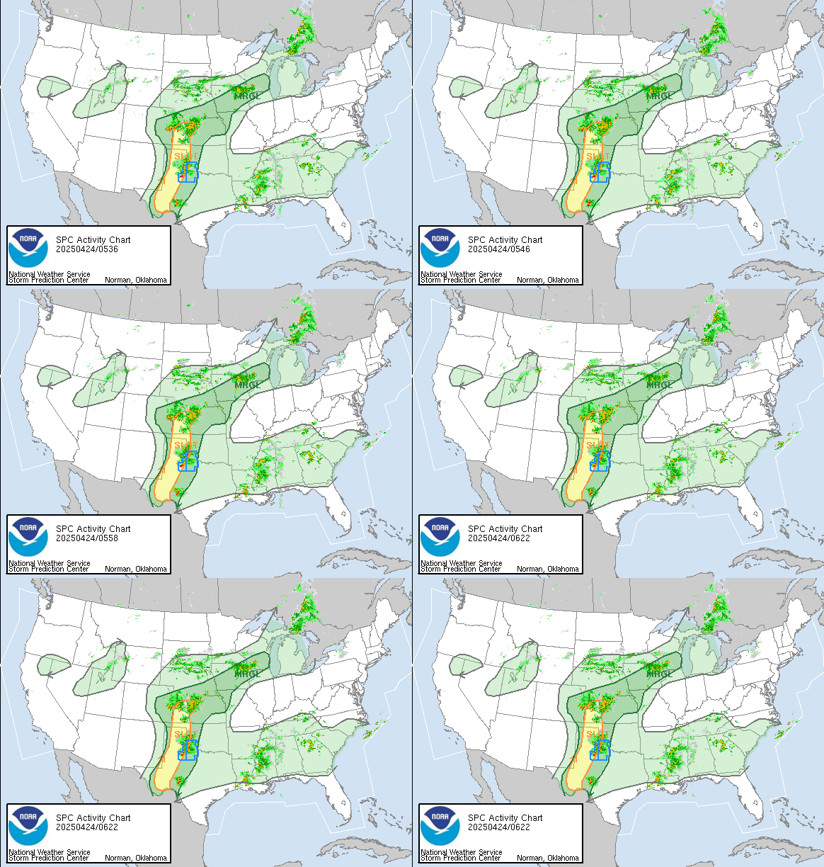
Severe Wx Outlook |
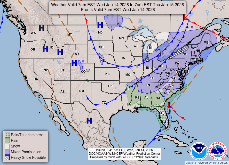
3-Day U.S. Fronts |

U.S. Temp Maps |

| Updated: @ 22-Nov-2026 2:05pm - next update at 2:10pm | |||||||||||||||||||||||||||||||||||||||||
| Summary / Temperature | Wind | Rain | Outlook | ||||||||||||||||||||||||||||||||||||||
|
|
|
|
||||||||||||||||||||||||||||||||||||||
| Humidity & Barometer | Almanac | Moon | |||||||||||||||||||||||||||||||||||||||
|
|
|
|||||||||||||||||||||||||||||||||||||||
| UV Index | Solar Radiation | ||||||||||||||||||||||||||||||||||||||||
|
|
||||||||||||||||||||||||||||||||||||||||


| Today's Normal and Record Temperatures / St. Cloud Area (NWS) | ||||||||||||
|---|---|---|---|---|---|---|---|---|---|---|---|---|
| Normal High: 36°F | Normal Low: 20°F | |||||||||||
| Record High: 56°F 1980 | Record Low: -13°F 1896 | |||||||||||
| NWS Weather Forecast - Outlook: This Afternoon & Tonight | |||||||
|
|||||||

| Short Term NWS Forecast for Sartell | ||||||||||||
|


|
Full 7-Day NWS Forecast |
|
| NWS-Twin Cities (MPX) Area Forecast Summary |
- Much colder to start the week with below normal temperatures bottoming out Monday/Monday night before gradually warming back to above normal late week. - Few chances for precipitation over the next week.NWS MPX Office Area Forecast Discussion |
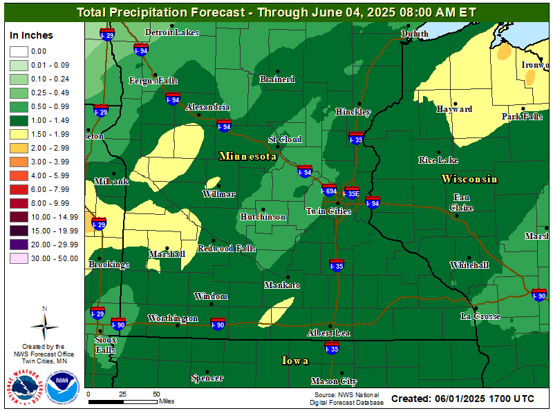
| Rain Forecast & SkyCam - Click on Images to Zoom/Unzoom |
|
|
| Click Images for More |
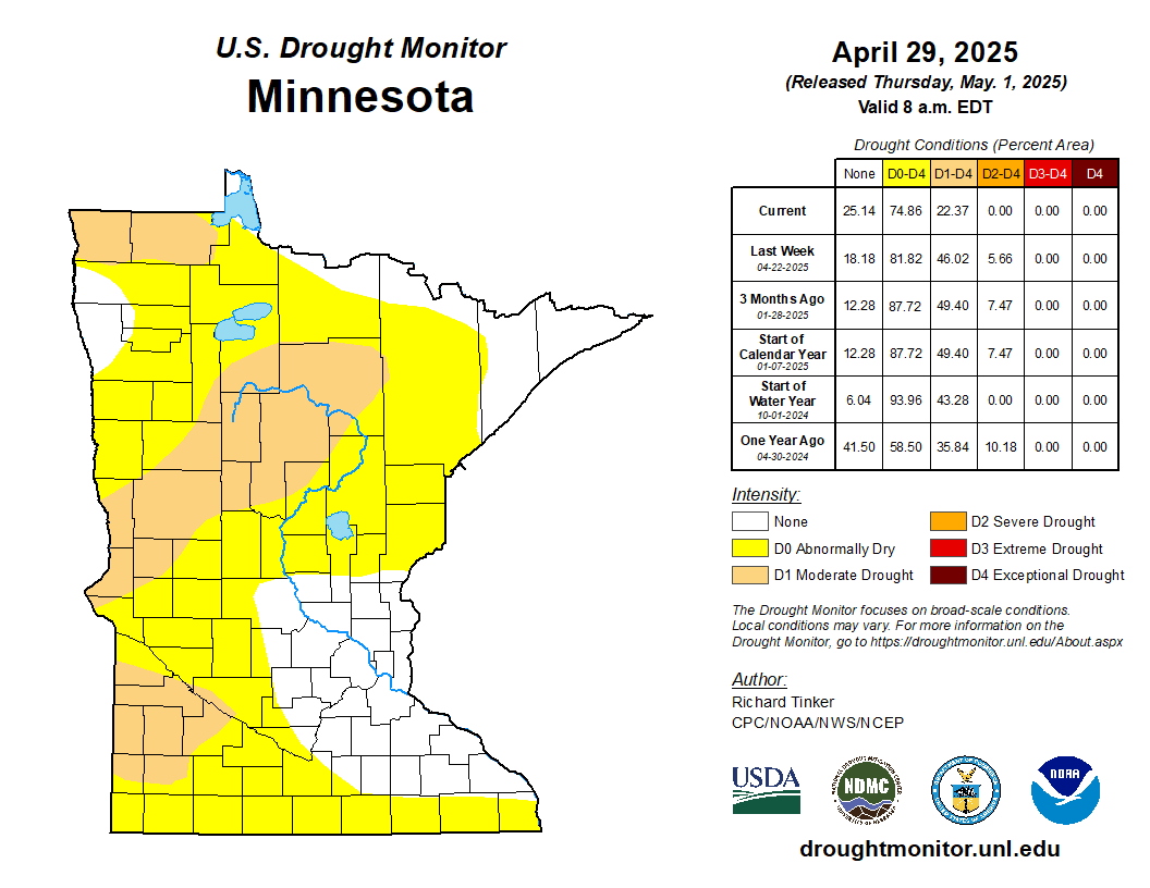
Drought Monitor |

Rain Detail |

Wind Conditions |

Lightning |

Sun/Moon |
| We Share Our Weather Data with These Organizations |

CWOP |

Wx Underground |

PWSweather |

AWEKAS |

WeatherCloud |
| Countdown to Winter | ||
|
© 2026, Sartell East Weather |
Weather-Display (10.37S-(b152)) |
Never base important decisions on this or any weather information obtained from the Internet.
Never base important decisions on this or any weather information obtained from the Internet.