


|

|
| Place cursor over maps to enlarge / Radar/Satellite images courtesy of NWS/NOAA | |
Our Other Weather Pages: ORIGINAL MOBILE PWSdb AURORA WDL PWS SIMPLE |
| Updated: @ 28-Jul-2026 4:50pm - next update at 4:55pm | |||||||||||||||||||||||||||||||||||||||||
| Summary / Temperature | Wind | Rain | Outlook | ||||||||||||||||||||||||||||||||||||||
|
|
|
|
||||||||||||||||||||||||||||||||||||||
| Humidity & Barometer | Almanac | Moon | |||||||||||||||||||||||||||||||||||||||
|
|
|
|||||||||||||||||||||||||||||||||||||||
| UV Index | Solar Radiation | ||||||||||||||||||||||||||||||||||||||||
|
|
||||||||||||||||||||||||||||||||||||||||


| Today's Normal and Record Temperatures / St. Cloud Area (NWS) | |
|---|---|
| Normal High: 82°F | Normal Low: 59°F |
| Record High: 100°F 1917 | Record Low: 43°F 2013 |
| NWS Weather Forecast - Outlook: This Afternoon & Tonight | ||||||
|
||||||

| Short Term NWS Forecast for Sartell | ||||||||||||
|


|
Full 7-Day NWS Forecast |
|
| NWS-Twin Cities (MPX) Area Forecast Summary |
- Heat continues into midweek with continues highs in the 90s. - Heavy rain looking increasingly likely Thursday into Friday. Low confidence on where the heaviest rain may fall. - Smoky skies continue through the week but the chance for surface smoke impacts appears low.NWS MPX Office Area Forecast Discussion |
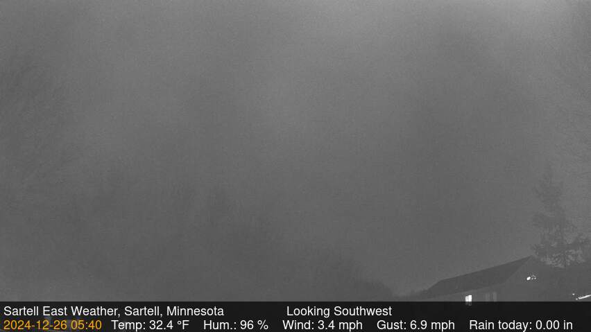
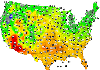
| Severe Weather Outlook Skycam |

|
|
| Links / Click Images for More |
|

|

|
|

|
| Countdown to Fall | ||
|
© 2026, Sartell East Weather |
Weather-Display (10.37S-(b152)) |
Never base important decisions on this or any weather information obtained from the Internet.
Never base important decisions on this or any weather information obtained from the Internet.
|
|